Only one percent of the vast Chalanbeel wetland area possesses a very high potential for groundwater storage, while 77 percent exhibits moderate potential and 22 percent remains low, according to a recent scientific study. Published this month in the academic journal Discover Geoscience, the research was conducted by geologists from the Department of Geology and Mining at Rajshahi University, shedding light on severe ecological degradation in the country's north-central region.
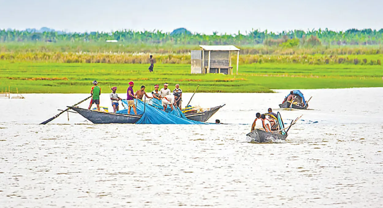
The sprawling wetland basin spans across vast lowlands in Natore, Sirajganj, and Pabna districts, specifically encompassing Natore's Singra and Gurudaspur upazilas, Pabna's Chatmohar and Bhangura upazilas, and Sirajganj's Tarash, Raiganj, and Ullapara upazilas. Researchers analyzed 17 diverse parameters—including rainfall patterns, soil composition, water infiltration capacity, groundwater table depth, aquifer depth, land elevation, slope, river proximity, land use, vegetation distribution, and river network density—utilizing satellite imagery, Geographic Information Systems (GIS), and geological datasets spanning from 1990 to 2024.
Out of the total 5,098-square-kilometer study area, merely 65 square kilometers fall under the very high potential category, whereas 3,933 square kilometers maintain moderate potential, and 1,099 square kilometers suffer from low potential. Wahidul Alam, a member of the research team, explained that during the monsoon season, groundwater can be accessed at a minimum depth of eight meters in high-potential zones, while moderate and low zones require depths of 10 and 15 meters, respectively. In the dry season, extraction depths plunge significantly to 20 meters in favorable zones, and down to 25 and 40 meters in moderate and low zones.
Natural soil composition heavily restricts subterranean water replenishment, with clay comprising 44 percent of the area, clay loam covering 33 percent, silt accounting for 15 percent, and coarse to medium sand constituting less than 7 percent. The dense clay layers act as a barrier preventing surface water from percolating downward. However, researchers emphasized that hydrogeological vulnerabilities are compounded by anthropogenic and climatic pressures, notably declining precipitation, massive agricultural groundwater extraction for irrigation, and rapid infrastructure development.
Professor Chowdhury Sarwar Jahan, who led the research team, noted that Chalanbeel lies between the Padma and Jamuna rivers, both of which are experiencing diminished water flows. He warned that the Padma is drawing away sub-surface water from the basin, which, combined with intensive dry-season irrigation, is dangerously depleting subterranean reserves and serving as a clear warning sign of impending environmental catastrophe.