
Teesta River water levels surpass danger mark in Nilphamari, flooding low-lying areas
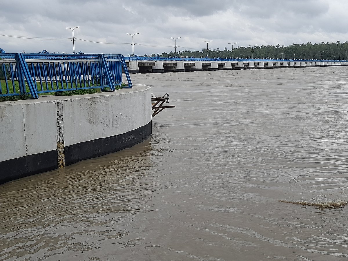
Photo Collected
Heavy rainfall has pushed the water level of the Teesta River in Nilphamari 13 centimeters above the danger mark, inundating low-lying areas across the Dimla and Jaldhaka sub-districts. While the rising river has submerged agricultural land, local officials report that no residential properties had been compromised as of Wednesday morning.
According to data from the Flood Forecasting and Warning Centre of the Bangladesh Water Development Board (BWDB), the water level at the Teesta Barrage point in Lalmonirhat’s Doyani was recorded at 52.28 centimeters as of 9 a.m. Wednesday, exceeding the danger threshold of 52.15 centimeters. The surge follows intense precipitation in the region, with 132 millimeters of rainfall recorded in Dalia over the past 24 hours.
The rising river has affected several areas, including the East and West Chhatnai, Khogakharibari, Tepakharibari, Goyabari, Khalisha Chapani, and Jhunagach Chapani unions in Dimla, alongside the Dauabari union in Jaldhaka. Local representatives indicate that while the flooding has reached low-lying regions, the impact on housing remains minimal.
Tepakharibari Union Parishad Chairman Rabiul Islam noted that although residential areas remain dry, the water has caused damage to newly planted Aman rice fields. Khalisha Chapani Union Parishad Chairman Md. Sahiduzzaman Sarker echoed this sentiment, confirming that while the flooding of low-lying terrain is ongoing, the situation is currently being monitored for further developments.
Amitav Chowdhury, Executive Engineer of the BWDB Dalia Division, stated that the water levels upstream in the Indian portion of the river remain well below the danger mark. To manage the current inflow and prevent further risk, all 44 sluice gates of the Teesta Barrage have been opened. Authorities currently consider the situation to be under control.
0%
0%
0%
0%